Search

Search Results

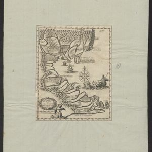
Carte a faite sur les lieux par Daniel Tavernier in plusieurs Voiages qu'il fait au Tonquin

event1679

location_onVietnam

Early map of the coast of Tunquin (modern northern Vietnam) made by the French merchant and adventurer Daniel Tavernier. It features a drawing of Poseidon/Neptune riding in a sea chariot pulled by horses, and extensive notes describing the region.

[Portolan chart of the South China Sea]

event1679

location_onMalaysia, Brunei, Cambodia, Thailand, Vietnam

A brightly-coloured hand-drawn map of the South China Sea. The compass is at the centre of a rhumbline network, a web of lines to aid navigation. Bathymetry (sea depth), islands, anchor points, shoals and reefs are also marked.

Carte a faite sur les lieux par Daniel Tavernier in plusieurs Voiages qu'il fait au Tonquin

event1679

location_onVietnam

Early map of the coast of Tunquin (modern northern Vietnam) made by the French merchant and adventurer Daniel Tavernier. It features a drawing of Poseidon/Neptune riding in a sea chariot pulled by horses, and extensive notes describing the region.

close