Search Results

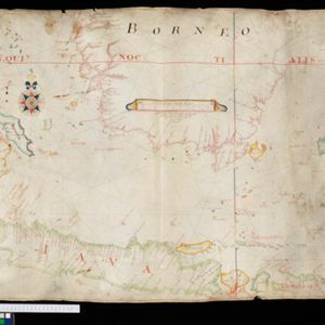
[Dutch portolan chart of the Lesser Sunda Islands]
c.1700
Indonesia, East Timor
Hand-drawn portolan (nautical) chart of the Lesser Sunda Islands, featuring a rhumbline network (the web of interconnected lines), shoals, reefs, elevations (side views of landmark mountains), and names of coastal settlements, all to aid navigation.


