Search Results

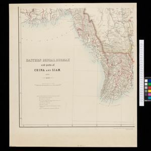
Eastern Bengal, Burmah and parts of China and Siam
1871
Myanmar, Laos, Thailand, Vietnam
The routes of nine expeditions (1830 to 1869) are marked on this map. There are also short notes about trading (e.g. at Oonoung in Burmah: ‘A bazaar, with a great variety of European goods’), and a list of other maps referenced in producing the map.


