Search Results

Nederland en deszelfs koloniën
1844
Brunei, East Timor, Indonesia, Malaysia, Singapore
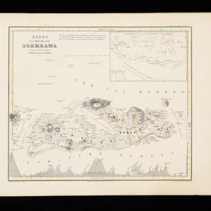
Map of the East Indies, with the borders of Dutch colonial territory marked in brown. The Malay Peninsula (‘Malakka’) has green borders, indicating it is a British possession. Four inset maps show other Dutch territories outside Southeast Asia.


