Search Results
Filter
Map Attributes
Contour Lines/Elevation
Remove constraint Map Attributes: Contour Lines/Elevation
Detailed Location
Ayeyarwady River
Remove constraint Detailed Location: Ayeyarwady River
Political Regions
District/Administrative Border
Remove constraint Political Regions: District/Administrative Border
6 Results found

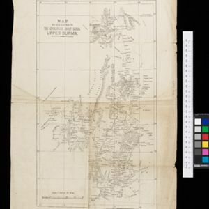
Map to illustrate the operations about Sadon, Upper Burma
1891
Myanmar
Map of northeast Burma (Myanmar) bordering China's Yunnan Province. The title refers to ‘operations’ around the town of Sadon, possibly part of the Burmese resistance movement against British colonial rule in the late 19th century.
- [remove]District/Administrative Border6
- National Border2
- [remove]Contour Lines/Elevation6
- Longitude and Latitude6
- Scale6


