Malay, or East Indian Archipelago, with Burmah, Siam &c.
event1887
location_onBrunei, Cambodia, East Timor, Indonesia, Laos, Malaysia, Myanmar, Philippines, Singapore, Southeast Asia, Thailand, Vietnam
India, Burmah and the adjacent parts of Beluchistan, Afghanistan, Turkestan, the Chinese Empire, and Siam
event1887
location_onMyanmar, Thailand, Malaysia, Indonesia
Parts of Burma, Siam and the Shan States
event1886
location_onMyanmar, Thailand
Eastern Naga Hills and Manipur with adjoining portions of Burmah
event1882
location_onMyanmar
Map of Burmah, and adjacent countries
event1875
location_onMyanmar, Thailand
A map shewing the various routes proposed for connecting China with India and Europe through Burmah and developing the trade of Eastern Bengal, Burmah and China
event1875
location_onMyanmar, Thailand
Eastern Bengal, Burmah and parts of China and Siam
event1871
location_onMyanmar, Laos, Thailand, Vietnam
Eastern British frontier bordering on Burmah and Munneepoor
event1871
location_onMyanmar
Map of Siam and some of its tributary provinces
event1870
location_onCambodia, Laos, Myanmar, Thailand
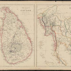
The Island of Ceylon / Burmah, Siam and Anam
event1870
location_onMyanmar, Laos, Cambodia, Thailand, Vietnam, Malaysia
[Manuscript map of Asia and Australia]
event1870
location_onSoutheast Asia, Singapore, Brunei, Cambodia, East Timor, Indonesia, Laos, Malaysia, Myanmar, Papua New Guinea, Philippines, Thailand, Vietnam
The central part of British Burmah with the Shan provinces of Burmah and Siam