Search

Search Results

Topographische kaart der residentie Kediri

event1879

location_onIndonesia

Four-sheet topographic map of the residency of Kediri (East Java), divided into regencies (pink borders) and districts (yellow borders). Mountains, forests, settlements, routes and crops—sugarcane, alang-alang, rice, coffee, sugar, nutmeg—are shown.

Algemeene kaart van Nederlandsch Indië

event1879

location_onCambodia, Indonesia, Papua New Guinea, East Timor, Southeast Asia, Thailand, Malaysia, Philippines, Laos, Vietnam, Singapore, Brunei, Myanmar

A late 19th century map of the Dutch East Indies on four sheets, detailing maritime routes around the region. There are also inset maps showing railways, rivers, roads, and telegraph systems, as well as individual islands and cities.

Kaart van Groot-Atjeh

event1878

location_onIndonesia

This map of Groot-Atjeh (Aceh, northern Sumatra) focuses on the area in and around the city of Kota Radja (Banda Aceh) during the Aceh War. It shows current and former Dutch military fortifications, inhabited and abandoned villages, and rice paddies.

Kaart van de Golf van Tomini of Gorontalo en omliggende landen

event1878

location_onIndonesia

Map of the Minahasa and East peninsulas of Celebes (Sulawesi) focusing on the road system (shown by red lines). There are four inset maps, including one showing indigenous tribal areas, and a list of places with their latitude, longitude and height.

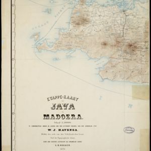
Etappe-kaart van Java en Madoera

event1878

location_onIndonesia

This detailed map of Java and Madura covers four sheets, showing natural features (mountains, lakes, rivers, bays), residential areas (cities, towns, villages) and routes (railways, roads, sea routes). An inset map shows telegraph lines and offices.

Topographische kaart der residentie Madioen

event1878

location_onIndonesia

Four-sheet topographic map of the mountainous residency of Madioen (Madiun, East Java), divided into regencies (pink borders) and districts (yellow borders). Crops—sugarcane, alang-alang, rice, coffee—sugar factories and coffee warehouses are shown.

Kaart van Java

event1878

location_onIndonesia

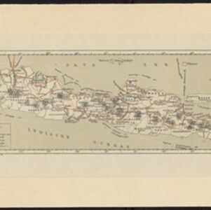
Map of Java divided into administrative areas (‘residencies’). Telegraph lines, railways (including those under construction) and postal routes are marked. Around the coasts, the routes of steamships are shown, with journey distances in miles.

Kaart van Java

event1878

location_onIndonesia

Map of Java divided into administrative areas (‘residencies’). Telegraph lines, railways (including those under construction) and postal routes are marked. Around the coasts, the routes of steamships are shown, with journey distances in miles.

Topographische kaart der residentie Krawang

event1877

location_onIndonesia

The residency of Krawang (Karawang), West Java, featuring plantations (coffee, coconut, cinnamon, nutmeg, sugar); crops (rice, alang-alang, bamboo); post offices, routes (road, postal, canals), administrative borders; mountains, rivers, forests.

Topographische kaart der residentie Cheribon

event1877

location_onIndonesia

Six-sheet topographic map of the residency of Cheribon (Cirebon, West Java), with an inset of a geodesic triangle grid. Administrative districts, crops—rice, alang-alang, sugarcane, sugar, coffee, tea—and indigo plant mills are shown.

Kaart van een gedeelte van midden Sumatra

event1876

location_onIndonesia

This map of central Sumatra is dominated by the rivers that flow east, from the west coast mountain ranges to the Malacca Strait (labelled ‘Zee van Riouw’). The largest is the Batang Hari River that flows through the city of Djambi (modern Jambi).

Schetskaart van den weg uit de Minahassa naar Bolaang Mongondou, gevolgd door J.Alb. Schwarz en A. de Lange, in 1875

event1876

location_onIndonesia

A map of a route taken by the Dutch Christian missionary Johannes Albert Traugott Schwarz. Over four days, accompanied by Anton de Lange, he walked from Popo (Poopo) south through the Minahasa Peninsula. The map also shows an earlier aborted route.

close

  • Filter from 1775 to 1899

Current results range from 1775 to 1899