
Search Results
550 Results found

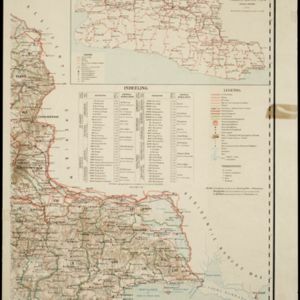

Plannen van ankerplaatsen Kleine Soenda eilanden
1893
Indonesia
Fifty-seven separate maps of bays, roadsteads—a body of water sheltered from tides/currents—and anchor points around the Lesser Sunda Islands. Landmarks, lighthouses, bathymetry (sea depth), shoals, reefs and other obstructions are marked.


Map to illustrate the Siamese question: showing the present limits of French claims, and the additional territory now demanded
1893
Cambodia, Laos, Malaysia, Myanmar, Thailand, Vietnam
Map highlighting areas of eastern Siam (Thailand) claimed by France. Notes describe Siam’s geography, government, population, military and trade (rice, teak, pepper, bullocks, fish, hides, tin, cardamom, tin), including trading partners by tonnage.


Sketch map of Baram District, Sarawak, Borneo
1893
Malaysia, Indonesia, Brunei
Map of the Baram District, Borneo, by the British ethnologist Charles Hose, divided into territories of indigenous peoples: Malanaus, Kayans, Kenniahs, Orang-Bukits, Sibops, Madangs, Kalabits, Balaits, Tutongs, Kadayans and Malays.


Map of Johore Territory 1893
1893
Malaysia, Singapore
Map of the Malay state of Johor, and Singapore. The route of a proposed railway north from Johor Bahru is shown. Apart from rivers and mountains, much of the terrain is blank, with labels such as ‘Unexplored Hill Country’ or ‘Dense Jungle and Swamp’.
- Filter from 1775 to 1900
- Indonesia442
- Malaysia162
- Myanmar146
- Singapore126
- Thailand123
- Brunei104
- Vietnam104
- Philippines98
- Laos95
- Cambodia93
- East Timor93
- Southeast Asia69
- more Simple Location »
- Port61
- Railway Station29
- Pier16
- River469
- Road264
- Path167
- Railway/Tramway103
- Postal Route86
- Telegraph/Telephone41
- Canal31
- Bridge26
- [remove]Contour Lines/Elevation550
- Longitude and Latitude480
- Scale459
- Written Note/Details137
- Compass Rose72
- Rhumbline Network5


