Search Results
Filter
Map Attributes
Longitude and Latitude
Remove constraint Map Attributes: Longitude and Latitude
Map Maker
Groot, J.G. de
Remove constraint Map Maker: Groot, J.G. de
Printer/Publisher
Institut National de Géographie
Remove constraint Printer/Publisher: Institut National de Géographie
2 Results found

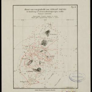
Kaart van het westelijk gedeelte van den Indischen Archipel
1883
Indonesia, Malaysia, Singapore
The shaded area on this map is where volcanic ash fell from the 1883 eruption of Krakatoa (Sunda Strait between Sumatra and Java). Red figures record the thickness of the ash in millimetres; black figures are distance from the eruption in kilometres.
- [remove]Longitude and Latitude2
- Scale2
- Contour Lines/Elevation1


