Search Results

Topographische kaart der residentie Madioen
1878
Indonesia
Four-sheet topographic map of the mountainous residency of Madioen (Madiun, East Java), divided into regencies (pink borders) and districts (yellow borders). Crops—sugarcane, alang-alang, rice, coffee—sugar factories and coffee warehouses are shown.

Schetskaart van het N.W. gedeelte der Residentie Sumatra's Oostkust
1877
Indonesia
Rivers and crops are the focus of this map of the northeast coast of Sumatra. Forests and wetlands are marked, as are alang-alang, coconut, pepper, nutmeg and tobacco. Roads are shown as suitable for infantry and light artillery, or for horse riding.

Topographische kaart der residentie Krawang
1877
Indonesia
The residency of Krawang (Karawang), West Java, featuring plantations (coffee, coconut, cinnamon, nutmeg, sugar); crops (rice, alang-alang, bamboo); post offices, routes (road, postal, canals), administrative borders; mountains, rivers, forests.

Geognostische kaart van het Oembilien kolenveld in de Padangsche bovenlanden, Sumatra's Westkust
1874
Indonesia
A geological map, spread over eight sheets, showing the types of rock and minerals found in the Oembilien coalfield, in the Padang Highlands on Sumatra’s west coast. There are also additional geological profiles.

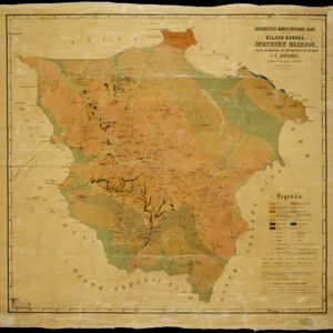
Geognostisch-mijnbouwkundige kaart van het eiland Bangka, distrikt Blinjoe
1872
Indonesia
A geological map showing the types of rock and minerals found in Blinjoe district on the island of Bangka, off the east coast of Sumatra. Deposits of iron, quartz and tin are marked, and coral is shown at the coast.

Topographische kaart der residentie Semarang
c.1869-1871
Indonesia
The residency of Semarang, Central Java, featuring crops (coffee, rice, bamboo, nipa palm); warehouses, cemeteries, post offices; routes, administrative borders; mountains, rivers, forests. An inset map shows updated details of the Kendal district.
- Filter from 1746 to 1900
- [remove]Path163
- Road155
- River154
- Postal Route68
- Railway/Tramway55
- Canal20
- Telegraph/Telephone20
- Bridge19
- [remove]Longitude and Latitude163
- Scale151
- Contour Lines/Elevation143
- Written Note/Details46
- Compass Rose7


