Search Results

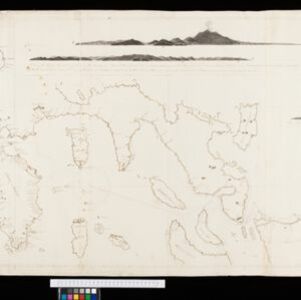
An Spherical Chart of a part of the Archipelago of the Phillipine Islands
1804
Philippines
A hand-drawn map designed to aid navigation around the southern coast of Luzon and the islands of the central Philippines. It features side views of coastal hills and mountains (‘elevations’) to use as landmarks, as well as towns, shoals and reefs.
- [remove]Longitude and Latitude2
- Compass Rose1
- Contour Lines/Elevation1
- Scale1
- Written Note/Details1


