Search Results

Atlas van Nederlandsch Oost-Indië
c.1897-1904
Indonesia
Very detailed atlas of the entire Dutch East Indies, over 16 map sheets, with a cover and overview map. Includes topographic maps, inset maps of cities and islands, and maps featuring land and sea routes, languages, geology, colonial territory etc.

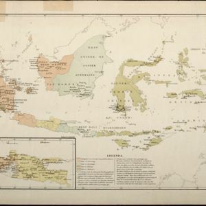
Kaart aangevende den bestaande toestand met betrekking tot het rechtswezen in Ned. Indië
1883
Indonesia
This map highlights the judicial system in the Dutch East Indies (‘Nederlands-Indië’) in the late 19th century. Different colours indicate the areas of authority of the different courts of law. There is an inset map of Java.
- Filter from 1883 to 1899
- [remove]Longitude and Latitude3
- Scale3
- Contour Lines/Elevation1
- Written Note/Details1


