Search Results

Kaart van de Golf van Tomini of Gorontalo en omliggende landen
1878
Indonesia
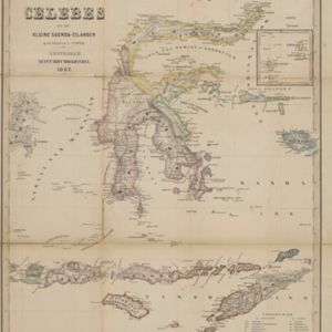
Map of the Minahasa and East peninsulas of Celebes (Sulawesi) focusing on the road system (shown by red lines). There are four inset maps, including one showing indigenous tribal areas, and a list of places with their latitude, longitude and height.

Kaart van Noord & Oost-Celebes, bevattende gedeelton der residentien Manado en Ternate
1854
Indonesia
Map of northern and eastern Celebes (Sulawesi) colour-coded by administrative region: the residencies of Manado (red borders) and Ternate (yellow borders). (From ‘Algemeene Atlas van Nederlandsche Indie [General Atlas of the Dutch East Indies]’.)
- Filter from 1854 to 1898
- [remove]Longitude and Latitude5
- Contour Lines/Elevation3
- Scale3
- Compass Rose1
- Written Note/Details1


