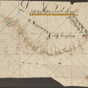
[De kust van Vietnam van Da Nang tot de monding van de Mekong]
1750
Vietnam
Map of the coast of Tsiompa and Couchinchina (Vietnam) designed for navigation, with a rhumbline network and bathymetry (sea depth). The large area marked with crosses represents the Paracel Islands. The modern city of Da Nang is at the far right.


