Search

Search Results

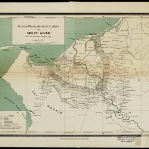
Het door Nederland bezette gebied van Groot-Atjeh met de naaste omgeving

event1899

location_onIndonesia

Map focusing on Kota Radja (city of Banda Aceh, Sumatra) during the Aceh War (1873–1904) fought between the Sultanate of Aceh and Dutch colonists. Dutch forts are shown in a zone around the city, and villages are marked in the surrounding country.

Java

event1894

location_onIndonesia

This detailed late 19th century map shows Java divided into regencies, and features mountains, land and sea routes, and an inset map of the port city of Batavia (Jakarta). It was designed to be folded within book covers so it could be easily carried.

Java

event1890

location_onIndonesia

This detailed late 19th century map shows Java divided into regencies, and features settlements, roads, railways, rivers, and maritime routes. There is also an inset map of the Kangean Islands.

Sumatra, Bangka, Blitoeng en de Riouw-archipel

event1890

location_onIndonesia

This map of Sumatra is divided into administrative areas called ‘residencies’, which include the surrounding islands such as the Riau Archipelago and islands in the South China Sea.

Java

event1890

location_onIndonesia

This detailed late 19th century map shows Java divided into regencies, and features mountains, roads, railways, and rivers. There is also an inset map of the port city of Batavia (Jakarta).

Sumatra

event1879

location_onIndonesia

The use of hachures—short lines/dashes that give a sense of the shape and steepness of terrain—highlight the mountain ranges along the west coast of Sumatra, with rivers flowing east. There is an inset map of the residency of Groot-Atjih (Aceh).

Java en Madoera

event1875

location_onIndonesia

This detailed late 19th century map shows Java and Madura divided into regencies, and features mountains, roads, railways, and rivers.

Java en Madoera

event1873

location_onIndonesia

This detailed late 19th century map shows Java and Madura divided into regencies, and features mountains, roads, railways, and rivers.

Sumatra

event1868

location_onIndonesia

The use of hachures—short lines/dashes that give a sense of the shape and steepness of terrain—highlight the mountain ranges along the west coast of Sumatra, with rivers flowing east. The island is divided into administrative ‘residencies’.

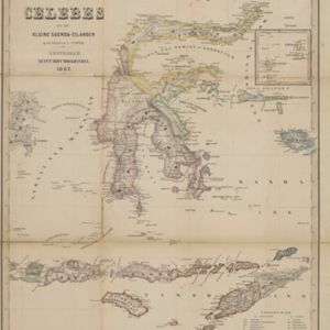
Het Eiland Celebes en de Kleine Soenda-Eilanden

event1862

location_onIndonesia, East Timor

A mid-19th century map of Celebes (Sulawesi) and the Lesser Sunda Islands, divided into colour-coded administrative districts.

Het eiland Java benevens Bali

event1861

location_onIndonesia

This map shows Java and Bali divided into Dutch colonial administrative areas (‘residencies’), and features mountains, rivers, settlements, and routes. It was designed to be folded within book covers so it could be easily carried.

Het eiland Java benevens Bali

event1861

location_onIndonesia

This map shows Java and Bali divided into Dutch colonial administrative areas (‘residencies’), and features mountains, rivers, settlements, and routes. It was designed to be folded within book covers so it could be easily carried.

close

  • Filter from 1860 to 1898

Current results range from 1860 to 1898