Search Results

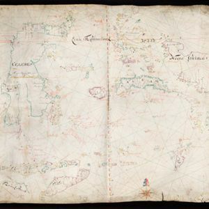
[Dutch portolan chart of the eastern Dutch East Indies]
1700
Indonesia, East Timor
This colourful hand-drawn portolan (nautical) chart was designed to aid navigation. It features a rhumbline network (the web of interconnected lines), bathymetry (sea depth), shoals and reefs, anchor points and written notes.

[Dutch portolan chart of the Lesser Sunda Islands]
c.1700
Indonesia, East Timor
Hand-drawn portolan (nautical) chart of the Lesser Sunda Islands, featuring a rhumbline network (the web of interconnected lines), shoals, reefs, elevations (side views of landmark mountains), and names of coastal settlements, all to aid navigation.
- Compass Rose3
- Longitude and Latitude3
- [remove]Rhumbline Network3
- Scale3


