Search Results
Military district no. 1: Department of northern Luzon
1900
Philippines
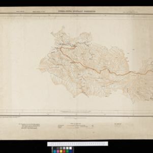
A map of the northwest coastal region of Luzon, Philippines made for the American military during the Philippine–American War (1899–1902). The area is divided into provinces, and major roads, settlements, mountains and rivers are marked.
- [remove]19006
- Luzon3
- Burma2
- Manila2
- Abra1
- Batangas1
- Benguet1
- Bontoc1
- Cavite1
- Celebes Sea1
- Ilocos1
- Ilocos Norte1
- Ilocos Sur1
- more Detailed Location »
- [remove]Path6
- River5
- Road5
- Telegraph/Telephone3
- Railway/Tramway2
- Bridge1
- [remove]Scale6
- Longitude and Latitude4
- Contour Lines/Elevation3
- Bukhsh, Khoda2
- Gafur, Abdul2
- Hare, Captain H. J.2
- Ikbaludin, Munshi2
- Pershad, Jamna2
- Strahan, Major General Charles2
- Blakelock, D.H.1
- Ourand, C.H.1
- more Map Maker »