Search Results
517 Results found

Kaart van de residentie Wester-afdeeling van Borneo
1898
Indonesia
Topographical map of western Borneo. Larger settlements are marked with their height above sea-level and with a flag to indicate a military garrison. They also have a letter signifying the local ruler, from Sultan to Lauthai (village elder).

Kaart van het gebied bezet in Groot-Atjèh
1898
Indonesia
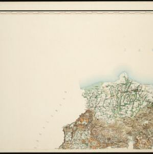
A large-scale map of Groot-Atjceh, northern Sumatra, spread over six sheets, and featuring details such as routes, crops (rice, banana, sugarcane, alang-alang, bamboo), mountains and wetlands, and settlements (city of Kota Radja (modern Banda Aceh)).

Kaart van 't noordwestelijke gedeelte der Residentie Ambon
1898
Indonesia
Map of the residency of Ambon in the Maluku Islands, divided by colour-coded administrative borders. There are inset maps the Banda Islands—including the nutmeg plantations and the town of Neira with its fort and hospital—and of Dutch New Guinea.

Kaart van het gebied bezet in Groot-Atjeh, met de nederzettingen Lepoeng en Lehoeng
1897
Indonesia
A map of Groot-Atjeh, Lepoeng and Lehoeng, at the northern tip of Sumatra, detailing routes (rivers, roads, railways), crops (rice, banana, sugarcane, betel, pepper, alang-alang, bamboo) and land features (forests, mountains, wetlands).
- Filter from 1595 to 1900
- Port98
- Pier51
- Railway Station47
- River403
- Road284
- Path164
- Railway/Tramway109
- Postal Route92
- Canal57
- Bridge49
- Telegraph/Telephone31


