Search Results

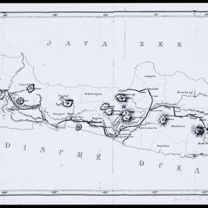
Nederlandsch Oost-Indië
1865
Brunei, Cambodia, East Timor, Indonesia, Laos, Malaysia, Myanmar, Vietnam, Thailand, Southeast Asia, Singapore, Philippines, Papua New Guinea
This detailed map of the Dutch East Indies in the mid-19th century contains a great deal of information: topographical details, settlements and administrative areas, roads, railways and maritime routes, telegraph lines, inset maps etc.

Kaart van Batavia omstreeks honderdvÿfentwintigjaren geleden overgebragt in het jaar 1864
1864
Indonesia
Although published in the mid-19th century, this map is based on Batavia (Jakarta) in c.1740. It focuses on the city’s castle and streets (in red), but also shows the fields of crops and the wetlands surrounding the city (in blue).

Chart of the China Sea
1864
Papua New Guinea, Indonesia, Malaysia, Cambodia, East Timor, Philippines, Singapore, Thailand, Vietnam
To aid navigation, this map shows small islands, shoals and reefs, maritime routes for use during monsoons or at particular times of the year, bathymetry (sea depth), tide information, shipwrecks, compass roses and landmark mountains at the coasts.

Teekening van de wooning van den aspirant lichtopzigter bij den vuurtoren te Batavia
1863
Indonesia
An architectural drawing of modifications to be made to a house at the lighthouse in Batavia, consisting of two elevations and a floor plan. The original building is in black, with the new construction in red. It is dated 5th October 1863.

Stanford's library map of Asia
1862
Brunei, Cambodia, East Timor, Indonesia, Laos, Myanmar, Malaysia, Philippines, Singapore, Southeast Asia, Thailand, Vietnam
Map of Asia on four sheets, with Southeast Asia on sheet four. British colonial territory—British Burma, the Straits Settlements, Sarawak—is highlighted in red, with the Dutch East Indies, Spanish Philippines and Portuguese East Timor also shown.
- Filter from 1575 to 1899
- Indonesia534
- Malaysia295
- Singapore285
- Brunei278
- East Timor264
- Philippines262
- Thailand257
- Cambodia255
- Vietnam248
- Southeast Asia240
- Myanmar238
- Laos236
- more Simple Location »
- [remove]Java534
- Sumatra324
- Borneo299
- Sulawesi248
- Malay Peninsula222
- Celebes206
- Dutch East Indies194
- Western New Guinea188
- Maluku Islands164
- Sunda Islands149
- Siam147
- South China Sea117
- more Detailed Location »


