Search

Search Results

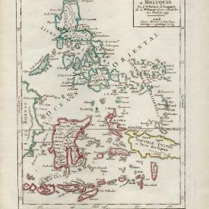
Isles Philippines et Moluques

event1749

location_onIndonesia, Philippines, Papua New Guinea, East Timor

From the second edition (1749) of ‘Atlas Portatif Universel et Militaire’ by the French cartographer Gilles Robert de Vaugondy (1688–1766), this map features the Philippines (in blue) and Maluku Islands (in red).

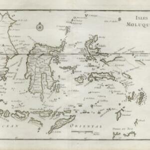
Isles Moluques

eventc.1748-1767

location_onEast Timor, Indonesia

The southern coasts of Sumbawa (‘Coinbava’) and Sumba (‘Sandet’), and most of the coast of New Guinea (‘Nouvelle Guinée’) are represented by a dotted line on this mid-18th century map, indicating that the exact coastlines were unknown at this time.