Search Results

Kaart van het eiland Java uit de nieuwste bronnen zamengesteld
1855
Indonesia
Map of Java divided into administrative areas (‘residencies’ and ‘regencies’). Mountains are represented by hachures, short lines/dashes that give a sense of the shape and steepness of terrain. Postal routes and roads are also marked.

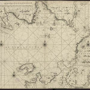
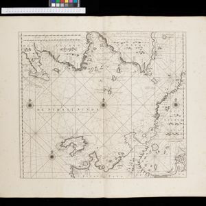
De Straat Sunda in de Oost-Indische Zee tussen de Eylanden Sumatra en Java
c.1750
Indonesia
Chart of the Sunda Strait, focusing on bays and islands, and showing bathymetry (sea depth), anchor points, shoals and reefs, landmarks, and a rhumbline network, all to aid navigation. Includes an inset map of the bay of the city of Banten on Java.

De Straat Sunda in de Oost-Indische Zee tussen de eylanden Sumatra en Iava
1728
Indonesia
Chart of the Sunda Strait, focusing on bays and islands, and showing bathymetry (sea depth), anchor points, shoals and reefs, landmarks, and a rhumbline network, all to aid navigation. Includes an inset map of the bay of the city of Banten on Java.

Nieuwe en zeer naaukeurige kaart van t eyland Java Major of Groot Java: verdeeld in seven byzondere bestekken
1728
Indonesia
On this beautifully illustrated and coloured map of Java, mountains, trees, fields of crops and settlements are shown pictorially. The coasts are marked with shoals, reefs, bathymetry (sea depth, in figures) and anchor points.


