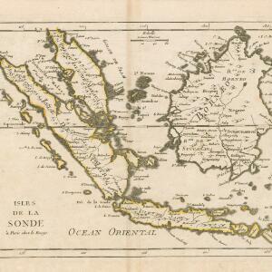
A chart of the seas between the Straits of Banca and Po. Timon: with the eastern part of the Straits of Malacca
1767
Indonesia, Malaysia
This mid-18th century maritime map charts the seas between Peninsula Malaysia and Sumatra, including Singapore—named ‘Po. Panjang’—with the old and new Straits of Singapore marked. The numbers indicate sea depth (bathymetry).


