Search

Search Results

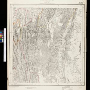
Portion of coal fields tract: Upper Chindwin district

event1892

location_onMyanmar

Map to accompany preliminary report on the Chin-Lushai Country

event1892

location_onMyanmar

India shewing railways with stations

event1892

location_onMyanmar

Sketch map of the head of Collingwood Bay

event1892

location_onPapua New Guinea

Sketch map shewing the rivers and an outline of the coast... Gulf of Papua, British New Guinea

event1892

location_onPapua New Guinea

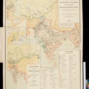
Dislocations-Karte der Indo-britischen Streitkräfte in Ost-Indien und der Russischen Streitkräfte in Asien

event1892

location_onMyanmar

Map of British New Guinea

event1892

location_onPapua New Guinea, Indonesia

New sketch map of the protected Malay State of Perak

event1892

location_onMalaysia

Topographische kaart der residentie Djokjakarta

event1892

location_onIndonesia

Topographische Kaart der residentie Pekalongan

event1892

location_onIndonesia

Topographische Kaart van de residentie Banjoemas

event1892

location_onIndonesia

Schutzgebiet der Neu-Guinea-Kompanie

eventc.1892-1893

location_onIndonesia, Papua New Guinea

close