Search Results

Overzichtskaart van de Residentie Besoeki
1899
Indonesia
This map of the residency of Besoeki (Banyuwangi Regency, East Java) is divided into regencies and districts. Heights of mountains and settlements are given in metres, and distances are shown along roads. Sugar factories and fishing ponds are marked.

Situatie plan van Batavia met desselfs stranden en ommelanden tot de buiten posten Angiol, Noortwijk, Rijswijk, de Kelling , Ankee en de Fluit
1898
Indonesia
Plan of the city of Batavia (Jakarta) with its suburbs and surrounding areas. Artillery batteries are marked on the beaches, and there is a detailed legend identifying places on the map. This is a copy of an original 1797 map.

De stad Batavia met derzelver omstreken: Geteekend in 1826
1898
Indonesia
The city of Batavia (Jakarta) with its port and castle is to the north (right side of the map). Koningsplein (Merdeka Square), a large area of rice paddies, graveyards and villages can be seen to the south (left). Copied from a c.1826 map.

Atlas van Nederlandsch Oost-Indië
c.1897-1904
Indonesia
Very detailed atlas of the entire Dutch East Indies, over 16 map sheets, with a cover and overview map. Includes topographic maps, inset maps of cities and islands, and maps featuring land and sea routes, languages, geology, colonial territory etc.

Topographische Kaart der residentie Batavia
1897
Indonesia
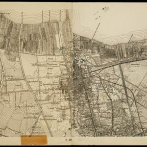
The residency of Batavia, West Java, featuring plantations (coffee, tea, coconut, cinnamon, nutmeg, sugar); crops (rice, alang-alang, bamboo); fishing ponds; factories, warehouses, shops; routes, administrative borders; mountains, rivers, lakes.

Kaart van de residentie Oostkust van Sumatra
1896
Indonesia
Detailed topographical map of the east coast of Sumatra, spread over 36 sheets. The area’s farms are listed and shown on the map within yellow borders, with types of crop grown. There is a detailed plan of Medan, and five inset maps of other towns.

Kaart van het gebied bezet in Groot-Atjeh
1895
Indonesia
A large-scale map of Aceh, north Sumatra, spread over four sheets with details such as routes (rivers, roads, railways), crops (rice, banana, pepper, sugarcane, bamboo), land features (mountains, forests, wetlands) and settlements (cities, villages).
- [remove]Factory52
- Warehouse26
- Market20
- Office14
- Shopping Area14
- [remove]Wetlands52
- Mountain/Volcano39
- Jungle/Wooded Area23
- Mangrove5
- Wild Animals2


