Search Results

Algemeene kaart van Nederlandsch Oostindie
c.1839-1855
East Timor, Indonesia, Malaysia, Singapore
This map of the Dutch East Indies is spread over eight sheets, with a hand-drawn cover sheet showing the whole area. There are numerous inset maps of islands, bays, cities etc. Two of the inset maps have a replacement map pasted over them.

Accuratissima totius Asiæ tabula: In omnes partes divisa
1750
Brunei, Cambodia, East Timor, Indonesia, Laos, Malaysia, Myanmar, Philippines, Singapore, Southeast Asia, Thailand, Vietnam
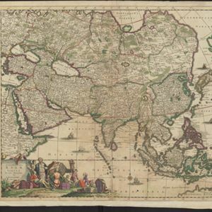
A detailed late 17th century map of Asia, showing ancient kingdoms and the place names of important settlements. The cartouche features a drawing of Asian traders selling their goods, while a camel, monkey and two birds look on.

Het Eiland Java: zoo als het sederd de tyden der Portugysen by de Ed. Oost-Indize maatschappye bekend geworden en bevaren is
1714
Indonesia
Published in the early 18th century by the Dutch publisher Pieter van der Aa (1659–1733), this map of Java and the Java Sea is decorated with a colourful painted scene of merchants and boats at a trading port.

A new mapp of Asia: divided into kingdoms & provinces
1690
Brunei, Cambodia, East Timor, Indonesia, Laos, Malaysia, Myanmar, Philippines, Singapore, Southeast Asia, Thailand, Vietnam
A detailed late 17th century map of Asia, showing ancient kingdoms and the place names of important settlements. The cartouche features a drawing of Asian traders selling their goods, while a camel, monkey and two birds look on.

Indiæ Orientalis nec non Insularum Adiacentium Nova Descriptio
1689
Brunei, Cambodia, East Timor, Indonesia, Laos, Malaysia, Myanmar, Philippines, Singapore, Southeast Asia, Thailand, Vietnam
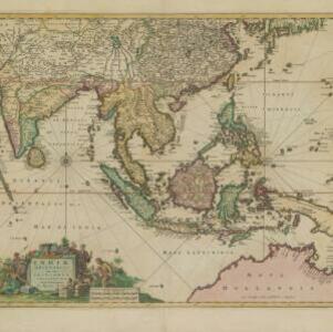
The cartouche on this map of Asia is decorated with a colourful depiction of a European man negotiating with an Asian merchant to buy an assortment of Asian goods, including jewellery, porcelain vessels and figurines, and textiles.

Accuratissima totius Asiæ tabula: In omnes partes divisa
c.1689-1702
Brunei, Cambodia, East Timor, Indonesia, Laos, Malaysia, Myanmar, Philippines, Singapore, Southeast Asia, Thailand, Vietnam
A detailed late 17th century map of Asia, showing ancient kingdoms and the place names of important settlements. The cartouche features a drawing of Asian traders selling their goods, while a camel, monkey and two birds look on.

Indiæ Orientalis nec non Insularum Adiacentium Nova Descriptio
1685
Brunei, Cambodia, East Timor, Indonesia, Laos, Malaysia, Myanmar, Philippines, Singapore, Southeast Asia, Thailand, Vietnam
The cartouche on this map of Asia is decorated with a colourful painting illustrating the region’s commerce, with Asian merchants displaying an assortment of goods, including jewellery, porcelain vessels and figurines, textiles and exotic animals.

Accuratissima totius Asiæ tabula: Recens emendata
1680
Brunei, Cambodia, East Timor, Indonesia, Laos, Malaysia, Myanmar, Philippines, Singapore, Southeast Asia, Thailand, Vietnam
A detailed late 17th century map of Asia, showing ancient kingdoms and the place names of important settlements. The cartouche features a drawing of Asian traders selling their goods, while a camel, monkey and two birds look on.

Indiæ Orientalis nec non Insularum Adiacentium Nova Descriptio
c.1680
Brunei, Cambodia, East Timor, Indonesia, Laos, Malaysia, Myanmar, Philippines, Singapore, Southeast Asia, Thailand, Vietnam
The cartouche on this map of Asia is decorated with a detailed depiction of a European man negotiating with an Asian merchant to buy an assortment of Asian goods, including jewellery, porcelain vessels and figurines, and textiles.


