Search
Refine your results
- Filter from 1878 to 1898
Current results range from 1878 to 1898
Location
- check_box_outline_blankJava2
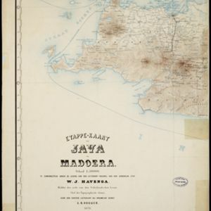
- check_box[remove]Madoera2
- check_box_outline_blankMadura2
- check_box_outline_blankBatavia1
- check_box_outline_blankDutch East Indies1
- check_box_outline_blankJakarta1
- check_box_outline_blankJava Sea1
- check_box_outline_blankJava-Zee1
- check_box_outline_blankStraat Soenda1
- check_box_outline_blankSunda Strait1


