Search Results

Kaart van het gebied bezet in Groot-Atjèh
1898
Indonesia
A six-sheet map of Groot-Atjèh (Aceh, northern Sumatra) focusing on areas occupied during the Aceh War (1873–1904) between the Sultanate of Aceh and Dutch colonists. It shows military positions and fortifications, buildings, routes and crops.

De stad Batavia met derzelver omstreken: Geteekend in 1826
1898
Indonesia
The city of Batavia (Jakarta) with its port and castle is to the north (right side of the map). Koningsplein (Merdeka Square), a large area of rice paddies, graveyards and villages can be seen to the south (left). Copied from a c.1826 map.

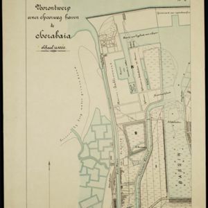
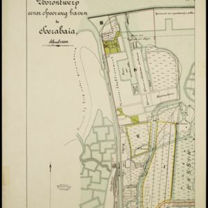
Voorontwerp eener spoorweghaven te Soerabaia
1898
Indonesia
Spread over four sheets, this is a detailed hand-drawn plan for railway and tramway lines at the port of Soerabaia (Surabaya, East Java). It includes a railway station, commercial areas, housing, customs, warehouses, offices and government buildings.

Voorontwerp eener spoorweghaven te Soerabaia
1897
Indonesia
Spread over four sheets, this is a detailed hand-drawn plan for railway and tramway lines at the port of Soerabaia (Surabaya, East Java). It includes a railway station, commercial areas, housing, customs, warehouses, offices and government buildings.

Sumatra: Residentie Benkoelen (Bengkoelen)
c.1894-1895
Indonesia
Map of the residency of Benkoelen (Bengkulu, southwest coast of Sumatra), over 10 sheets, with an inset map of the city of Bengkoelen (Bengkulu). Types of crops—coconut, rice, alang-alang, nipah palm, coffee—are marked. Sheet number 8 is missing.

Topographische kaart van de residentie Preanger regentschappen
1894
Indonesia
The residency of Preanger (Parahyangan), West Java, with plantations (coconut, coffee, tea, cinchona (‘kina’), betel, teakwood, bamboo) and crops (rice, sugarcane, alang-alang). Two inset maps: a triangulation map, and a map of land route distances.

Topographische kaart der residentie Besoeki
1888
Indonesia
The residency of Besoeki (Besuki), East Java, featuring crops (rice, alang-alang, bamboo, coconut); fishing ponds; factories, warehouses, businesses; routes, administrative borders; churches, cemeteries, forts, lighthouses; mountains, rivers, lakes.

Algemeene kaart van Nederlandsch Indië
1879
Cambodia, Indonesia, Papua New Guinea, East Timor, Southeast Asia, Thailand, Malaysia, Philippines, Laos, Vietnam, Singapore, Brunei, Myanmar
A late 19th century map of the Dutch East Indies on four sheets, detailing maritime routes around the region. There are also inset maps showing railways, rivers, roads, and telegraph systems, as well as individual islands and cities.

Map of the Malay Peninsula 1879
1879
Malaysia, Singapore, Thailand
Six-sheet map of the Malay Peninsula, featuring settlements, mountains and rivers. Labels note names of indigenous peoples, or describe terrain/resources. There is an inset map of Singapore town, and the Straits Settlements are highlighted in red.


