Search

Search Results

Carta dello stretto della Sonda, ed isole vicine

event1781

location_onBrunei, Cambodia, Indonesia, Malaysia, Myanmar, Philippines, Singapore, Thailand, Vietnam

A late 18th century map of maritime Southeast Asia by the French geographer Jacques Nicolas Bellin (1703–1772). The title refers to the ‘Stretto della Sonda’ (Sunda Strait), the strait between the islands of Sumatra and Java.

Batavia

eventc.1772-1780

location_onIndonesia

A plan of the port city of Batavia in the 18th century. Small ships can be seen transporting goods along the river to the pier, and the street plan also includes churches, shopping areas and hospitals, as noted on the map’s detailed legend.

Nouvelle Carte de l'isle de Java

eventc.1772-1780

location_onIndonesia

On this map of Java, mountains are shown pictorially and labelled with their name. The coasts are marked with shoals, reefs, bathymetry (sea depth, in figures) and anchor points. The land is divided into administrative districts.

Carte des Isles de Java, Sumatra, Borneo &a. Les detroits de la Sunde, Malaca, et Banca, Golfe de Siam &a.

eventc.1772-1780

location_onBrunei, Cambodia, Indonesia, Malaysia, Philippines, Singapore, Thailand, Vietnam

This map shows the islands of Java, Sumatra and Borneo, the straits of Sunda, Malacca and Bangka, and the Gulf of Siam. The title is given in both French and Dutch, as are some of the place names on the map.

Carte des environs de Batavia = Kaart van de buitenstreeken van Batavia

eventc.1772-1780

location_onIndonesia

This late 18th century map of Batavia (Jakarta) focusses on the network of canals and rivers surrounding the city, as well as the many fields and plantations, including rice fields (‘Champ de Ris’) and sugarcane (‘Cannes de Sucre’).

Batavia assiegé en 1629 = Batavia A.o 1629 belegerd

eventc.1772-1780

location_onIndonesia

This unusual map of Batavia in the late 18th century shows the port city as seen when approaching from the sea. The castle is depicted prominently as a three-dimensional drawing, with the rest of the city behind more flat like a plan.

Isles de Banda = Eylanden van Banda

eventc.1772-1780

location_onIndonesia

Map of the Banda Islands—which was at this time the only source of nutmeg in the world—featuring mountains, plantations, settlements and a military fort. On the island of Goenong Api (Banda Api) a volcano erupts (‘api’ means ‘fire’ in Indonesian).

Isle de Baly = 'T eiland Baly

eventc.1772-1780

location_onIndonesia

Amongst the mountains and jungles of mid-18th century Bali, this map shows three royal palaces, walled encampments, and seven Buddhist temples (or ‘stupa’) on the east coast. Inset illustrations depict a palace and a temple in detail.

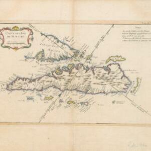
Carte de l'Isle de Sumatra

event1764

location_onMalaysia, Indonesia, Singapore

This mid-18th century map shows the island of Sumatra and the Malay Peninsula, divided by the Straits of Malacca. A note in French at the top right corner states that the interior of Sumatra and the course of its rivers are unknown.

Carte des Isles de Java, Sumatra, Borneo &c. Les détroits de la Sonde, Malaca et Banca, Golfe de Siam &c.

event1764

location_onBrunei, Cambodia, Indonesia, Malaysia, Singapore, Thailand, Vietnam, Philippines

This map shows the islands of Java, Sumatra and Borneo, the straits of Sunda, Malacca and Bangka, and the Gulf of Siam. The points of the compass can be seen radiating out from a central compass rose.

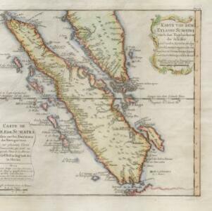
Karte von dem eylande Sumatra nach den tagebüchern der schiffer

event1764

location_onMalaysia, Indonesia, Singapore

The title of this mid-18th century map of Sumatra and the Malay Peninsula claims that it was based on the diaries of sailors. Interestingly, the title is repeated in both German and French, as are the names of some of the locations marked on the map.

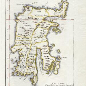
Carte de l'isle Celebes ou Macassar

event1763

location_onIndonesia

This mid-18th century map of Celebes (Sulawasi) shows the island divided into approximately a dozen separate kingdoms. The Gulf of Saleyer is noted as being ‘rempli de Bancs de Sable [filled with sandbanks]’.

close

  • Filter from 1746 to 1781

Current results range from 1746 to 1781