Search

Search Results

Java 1848

event1848

location_onIndonesia

Map of Java divided into three provinces: West Java, Central Java and East Java. Major settlements and islands are named. Mountains are represented by hachures, short lines/dashes that give a sense of the shape and steepness of terrain.

Java 1848

event1848

location_onIndonesia

Map of Java divided into three provinces: West Java, Central Java and East Java. Major settlements and islands are named. Mountains are represented by hachures, short lines/dashes that give a sense of the shape and steepness of terrain.

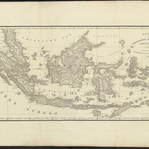
Kaart van Nederlands Oostindische bezittingen

event1843

location_onMalaysia, Singapore, Indonesia, East Timor

Map of Dutch colonial possessions in maritime Southeast Asia, labelled with the names of administrative areas. Mountains are represented by hachures, short lines/dashes that give a sense of the shape and steepness of terrain.

close

  • Filter from 1843 to 1848

Current results range from 1843 to 1848