Search Results

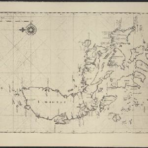
Afbeldinge der Stadt Iudiad hooft des choonincrick Siam
1665
Thailand
Map of the Siamese city of Ayutthaya (‘Iudiad’) represented pictorially, surrounded by rivers and with a grid-like layout of roads, rivers and buildings. The city existed from 1350 until 1767 when it was destroyed by an invading Burmese force.
- [remove]Vingboons, Johannes2


