Search

Search Results

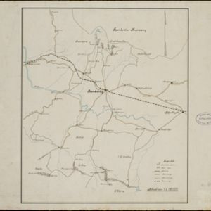
Itinéraire de Hanoi à That-khe par Lang-son (Frontière Chinoise du Kouang-Si)

event1881

location_onVietnam

A late 19th century map depicting a route from Hanoi to That-Khe via Lang-Son (in northern Vietnam, near the border with China at Kouang-Si (Guangxi)). Two inset maps feature plans of military forts, villages, rivers and fields along the route.

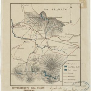
Gouvernements-kina-tuinen, Bandoeng, Java

event1881

location_onIndonesia

This map of Bandung, Java, highlights areas used to cultivate the plant Cinchona (‘Kina’). Its bark produces quinine which was used to treat malaria. A railway line, postal routes, cart roads and bridleways are also shown.

[Kina plantages rond Bandoeng]

event1881

location_onIndonesia

This map of Bandung, Java, highlights areas used to cultivate the plant Cinchona (‘Kina’). Its bark produces quinine which was used to treat malaria. A railway line, postal routes, cart roads and bridleways are also shown.

Kaart van de Djelej- en Kotawaringin-rivieren

event1881

location_onIndonesia

Map of an expedition exploring two rivers and their tributaries in southern Borneo. Villages and farms are marked (in red for Malay people; in black for Dayak people). Red numbers show height above sea-level in meters; black numbers show latitude.

Topographische kaart de residentie Rembang

event1881

location_onIndonesia

Four-sheet topographic map of the residency of Rembang (Central Java) divided into regencies (pink borders) and districts (yellow borders). Crops—coconut, rice, coffee, bamboo, alang-alang, sugarcane—as well as salt pans and fishing ponds are shown.

close