Search Results
Filter
Cultivation/Extraction
Plantation/Forestry Area
Remove constraint Cultivation/Extraction: Plantation/Forestry Area
Detailed Location
Kendal
Remove constraint Detailed Location: Kendal
Settlement Features
Cemetery/Columbarium
Remove constraint Settlement Features: Cemetery/Columbarium
2 Results found

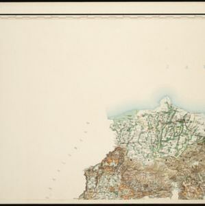
Topographische kaart der residentie Semarang
c.1869-1871
Indonesia
The residency of Semarang, Central Java, featuring crops (coffee, rice, bamboo, nipa palm); warehouses, cemeteries, post offices; routes, administrative borders; mountains, rivers, forests. An inset map shows updated details of the Kendal district.
- Dutch East Indies2
- Java2
- [remove]Kendal2
- Semarang2
- [remove]Cemetery/Columbarium2
- Kampong/Village2
- Post Office2
- Residential Area2


