Search Results

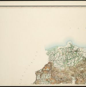
Kaart van het gebied bezet in Groot-Atjèh
1898
Indonesia
A six-sheet map of Groot-Atjèh (Aceh, northern Sumatra) focusing on areas occupied during the Aceh War (1873–1904) between the Sultanate of Aceh and Dutch colonists. It shows military positions and fortifications, buildings, routes and crops.

Kaart der hoofdplaats Batavia omstreeks het jaar 1740
1898
Indonesia
A mid-18th century map of the important port of Batavia (Jakarta), with military forts, a pier, hospitals, churches, and residential streets. However, the city is also surrounded by fields and plantations, for producing crops and grazing animals.

Kaart de residentie Wester-afdeeling van Borneo
1898
Indonesia
Topographical map of western Borneo, with inset maps of the islands off the west coast, and of the city of Pontianak including the docks and crops grown near the city (rice, coconut, mangosteen, sago, alang-alang, indigo plant, sugarcane, bamboo).

Kaart van het gebied bezet in Groot-Atjèh
1898
Indonesia
A large-scale map of Groot-Atjceh, northern Sumatra, spread over six sheets, and featuring details such as routes, crops (rice, banana, sugarcane, alang-alang, bamboo), mountains and wetlands, and settlements (city of Kota Radja (modern Banda Aceh)).

Map of the Island of Singapore and its dependencies
1898
Singapore
Map of Singapore Island, divided into Districts, including the surrounding islands and straits. The city centre, roads and forests are marked. MacRitchie Reservoir is at the centre of the island, with coconut plantations along the east coast.
- [remove]Cemetery/Columbarium64
- Kampong/Village49
- Residential Area36
- Military Fort30
- Church26
- Hospital23
- Post Office23
- Mosque20
- Public Space15
- Temple15
- Well15
- Military Barracks14
- Jail/Prison10
- Court of Law8
- more Settlement Features »
- Crops64
- [remove]Plantation/Forestry Area64
- Fishing19
- Agricultural Pond9
- Mining7
- Domesticated Animals6


