Search

Search Results

Map of Asia

event1840

location_onBrunei, Cambodia, East Timor, Indonesia, Laos, Malaysia, Myanmar, Papua New Guinea, Philippines, Singapore, Southeast Asia, Thailand, Vietnam

On this mid-19th century map of Asia, national and regional borders are colour-coded, including colonial possessions such at the British Straits Settlements. Coastal cities, islands, shoals and reefs are marked in detail.

Asie divisée en ses Empires, Royaumes et Etats

event1794

location_onBrunei, Cambodia, East Timor, Indonesia, Laos, Malaysia, Myanmar, Philippines, Singapore, Southeast Asia, Thailand, Vietnam

This map of Asia features a decorative cartouche with drawings of two women—one with a cornucopia and one with a censer (incense burner)—and a French coat of arms. Interestingly, the map is dated 1792, during the French Revolution.

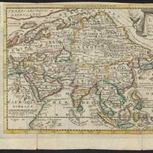
Nova Tabula Asiae

eventc.1759

location_onBrunei, Cambodia, East Timor, Indonesia, Laos, Malaysia, Myanmar, Philippines, Singapore, Southeast Asia, Thailand, Vietnam

On this map, Asia is divided into colour-coded regions, with mainland Southeast Asia in blue, and the islands of maritime Southeast Asia in various colours. The cartouche features drawings of a palm tree, fruits and a camel.

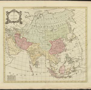
2e. carte de l'Asie

event1755

location_onBrunei, Cambodia, East Timor, Indonesia, Laos, Malaysia, Myanmar, Philippines, Singapore, Southeast Asia, Thailand, Vietnam

Mid-18th century French-language map of Asia, with Southeast Asia divided into four regions: the mainland in yellow, the Philippines in green, the Sunda Islands in red, and the Maluku Islands in yellow.

Accuratissima totius Asiæ tabula: In omnes partes divisa

event1750

location_onBrunei, Cambodia, East Timor, Indonesia, Laos, Malaysia, Myanmar, Philippines, Singapore, Southeast Asia, Thailand, Vietnam

A detailed late 17th century map of Asia, showing ancient kingdoms and the place names of important settlements. The cartouche features a drawing of Asian traders selling their goods, while a camel, monkey and two birds look on.

A new and accurate map of the East India Islands: laid down according to the latest discoveries, and agreeable to the most approved maps & charts

event1750

location_onBrunei, Cambodia, East Timor, Indonesia, Laos, Malaysia, Myanmar, Vietnam, Thailand, Southeast Asia, Singapore, Philippines

This mid-18th century map of Southeast Asia includes written notes on goods produced and traded, geographical features, and wild animals found in each part of the region. The cartouche features a drawing of Asia with people, fields and palm trees.

Accuratissima totius Asiæ tabula: In omnes partes divisa

event1750

location_onBrunei, Cambodia, East Timor, Indonesia, Laos, Malaysia, Myanmar, Philippines, Singapore, Southeast Asia, Thailand, Vietnam

A detailed late 17th century map of Asia, showing ancient kingdoms and the place names of important settlements. The cartouche features a drawing of Asian traders selling their goods, while a camel, monkey and two birds look on.

L'Asie Dressée Selon les Observations de Mrs. De l' Academie Royale des Sciences

event1749

location_onBrunei, Cambodia, East Timor, Indonesia, Laos, Malaysia, Myanmar, Singapore, Philippines, Southeast Asia, Thailand, Vietnam

Map of Asia based on observations of members of the French Academy of Sciences. Its decorative cartouche features a drawing of a censer (incense burner).

Royaume de Siam, avec les Royaumes qui luy sont Tributaires, et les Isles de Sumatra, Andemaon etc.

event1742

location_onBrunei, Cambodia, Indonesia, Laos, Malaysia, Myanmar, Singapore, Thailand, Vietnam

Map marking the routes through maritime Southeast Asia of two delegations: a French delegation from Brest, France to Siam in 1685; and a Siamese delegation from Siam to Brest in 1686. A note next to Aceh records a sea battle against Portugal in 1616.

close