Search

Search Results

Kaart van de Residentie Pekalongan

event1854

location_onIndonesia

Map of the Dutch colonial administrative region (residency) of Pekalongan, Java, including an elevation showing the heights of the area’s mountains. (From ‘Algemeene Atlas van Nederlandsche Indie [General Atlas of the Dutch East Indies]’.)

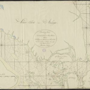
Naauwkeurige kaart van het oostlijk gedeelte van Straat Malacca

eventc.1780

location_onMalaysia, Indonesia, Singapore

This map of the Straits of Malacca features shoals and reefs, bathymetry (sea depth), drawings of side views of landmark mountains (elevations), all designed to aid navigation. The various straits used around Singapore are also marked.

close

  • Filter from 1780 to 1854

Current results range from 1780 to 1854