Search

Search Results

A New Chart of the Eastern Straits, or the Straits to the East of Java, with a part of the Banda Sea

event1798

location_onEast Timor, Indonesia

A late 18th century maritime navigation map of the straits east of Java, with drawings of the elevations of the straits. The map is also marked with routes of explorers, including the return of Captain Cook’s HMS Endeavour from Australia in 1770.

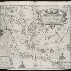
Nova tabula insularum Iavae, Sumatrae, Borneonis et aliarum Mallaccam usquae

event1601

location_onMalaysia, Indonesia, Singapore

Adapted by Theodore de Bry from an original by Willem Lodewycksz, this map has some inaccuracies e.g. the Malay Peninsula (‘Chersonese’) is completely bisected by the Muar River, leaving the southern tip of the peninsula as a separate island.

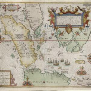
Nova tabula insularum Iavae, Sumatrae, Borneonis et aliarum Mallaccam usquae

event1598

location_onMalaysia, Indonesia, Singapore

Adapted by Theodore de Bry from an original by Willem Lodewycksz, this map has some inaccuracies e.g. the Malay Peninsula (‘Chersonese’) is completely bisected by the Muar River, leaving the southern tip of the peninsula as a separate island.

close

  • Filter from 1598 to 1798

Current results range from 1598 to 1798