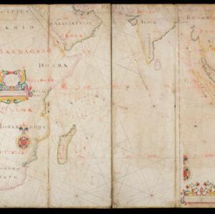
[Chart of the Indian Ocean]
1684
Cambodia, Indonesia, Malaysia, Myanmar, Thailand
Colourful hand-drawn portolan (nautical) navigation chart, featuring a rhumbline network (the web of interconnected lines), islands, shoals and reefs. With an elaborately decorated cartouche, scale and compass roses. Vellum on folding wood boards.


