Search

Search Results

Plattegrondtekening der vestingwerken van de stad en 't kasteel Batavia

event1898

location_onIndonesia

Hand-drawn and coloured plan of the fortifications at Batavia (Jakarta, Java) including the castle, city walls, and moat and canal system. An inset map features four more of the city’s fortifications. This is a copy of an original 1788 map.

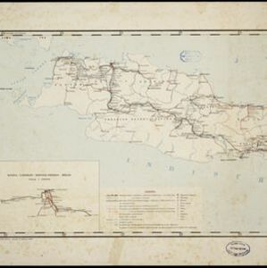
Spoor- en tramwegkaart van Java en Madoera

event1898

location_onIndonesia

The railways and tramways of Java and Madoera (Madura) are shown over two sheets of this late 19th century map, including lines in use, under construction, and being planned. An inset map shows details of a line near Batavia (Jakarta).

close