Search

Search Results

W. & A.K. Johnston's sheet of maps to illustrate the Caroline islands dispute between Germany and Spain

event1885

location_onSoutheast Asia, Papua New Guinea, Indonesia, Philippines, Malaysia, East Timor

Topographische Kaart der residentie Probolinggo

event1885

location_onIndonesia

Reduzirte Karte von den Philippinen und den Sulu Inseln

event1884

location_onPhilippines, Malaysia, Indonesia

Topographische kaart der residentie Soerabaja

event1884

location_onIndonesia

Kaart aangevende 1°. de verdeeling van Java en Madura in gewesten en wat de gouvernements-residentiën betreft, ook in afdeelingen en districten

event1884

location_onIndonesia

Overzichtskaart van Groot-Atjeh

event1884

location_onIndonesia

India showing missionary stations

event1884

location_onMyanmar, Thailand, Malaysia, Singapore, Indonesia

Map of South-Eastern Asia and Northern Australia: showing the districts in Annam and Tonquin which France proposes to annex and to place under a Protectorate, the portion of New Guinea proposed to be acquired by Queensland, and the districts affected by the volcanic eruptions in Java

event1883

location_onSoutheast Asia, Singapore, Thailand, East Timor, Vietnam, Brunei, Cambodia, Indonesia, Laos, Malaysia, Myanmar, Papua New Guinea, Philippines

Overzichtskaart en bladwijzer der afdeeling Banjoewangi

event1883

location_onIndonesia

Moekim Lepong

event1883

location_onIndonesia

Topographische kaart der residentie Batavia

eventc.1882-1883

location_onIndonesia

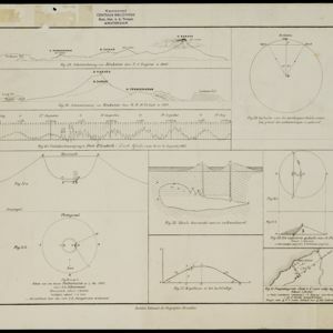
[Grafieken en tekeningen betreffende de uitbarsting van de Krakatau in 1883]

event1883

location_onIndonesia

close