Search Results
320 Results found

Ontwerp drinkwaterleiding voor de stad Cheribon
1884
Indonesia
Hand-drawn map of the design of a drinking water pipeline for the city of Cheribon (Cirebon) on the northern coast of Java. Roads, rivers, rice paddies and other fields are shown. The written notes include the city’s population figures by ethnicity.

Topographische kaart der residentie Batavia
c.1882-1883
Indonesia
The residency of Batavia, West Java, featuring plantations (coffee, tea, coconut, cinnamon, nutmeg, sugar); crops (rice, alang-alang, bamboo); fishing ponds; factories, warehouses, shops; routes, administrative borders; mountains, rivers, lakes.

Kaart van het terrein des oorlogs in Groot-Atjeh
1883
Indonesia
The Aceh War (1873–1904) between the Sultanate of Aceh and Dutch colonists is highlighted on this map of Groot-Atjeh in 1876. Flag symbols mark the locations of Dutch military posts, and some villages are described as ‘verbrande [burnt]’.

Overzichtskaart en bladwijzer van de residentie Madoera
1883
Indonesia
This overview map of the residency of Madoera (Madura Island, East Java, Indonesia) is divided into four regencies, and subdivided into 21 districts, which are numbered and listed at the bottom of the map. Major roads and settlements are also marked.

[Verzamelkaart van door uitbarsting en vloedgolf verwoeste gebieden]
1883
Indonesia
Nine maps of the effects of the 1883 Krakatoa volcanic eruption, including on Rakata Island itself, and Calmeyer Island (formed by the eruption). Other maps use brown shading to show the flooding of nearby islands and settlements by ensuing tsunamis.

Kaart van het terrein des oorlogs in Groot-Atjeh in 1876
1883
Indonesia
The Aceh War (1873–1904) between the Sultanate of Aceh and Dutch colonists is highlighted on this map of Groot-Atjeh in 1876. Flag symbols mark the locations of Dutch troops, while a red line records the route marched by ‘agitating troops’ in 1875-6.

Kaart van het terrein des Oorlogs in Groot-Atjeh in 1876
1883
Indonesia
The Aceh War (1873–1904) between the Sultanate of Aceh and Dutch colonists is highlighted on this map of Groot-Atjeh in 1876. Flag symbols mark the locations of Dutch troops, while a red line records the route marched by ‘agitating troops’ in 1875-6.

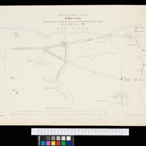
Sketch of works before Phu-sa, showing position of troops at 3 p.m. on the 14th Dec 1883, before the assault
1883
Vietnam
Map of Phu-Sa, a village to the northeast of the city of Sơn Tây (Vietnam), during the Tonkin campaign. It shows French troop positions (on the right, in red) before they attacked the defences of the China-backed Black Flag Army at Phu-Sa
- Filter from 1670 to 1900
- Port66
- Railway Station40
- Pier29
- [remove]Road320
- River299
- Path189
- Railway/Tramway112
- Postal Route90
- Bridge53
- Canal50
- Telegraph/Telephone42


