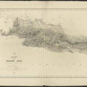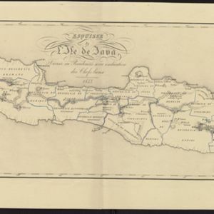
Kaart van Noord & Oost-Celebes, bevattende gedeelton der residentien Manado en Ternate
1854
Indonesia
Map of northern and eastern Celebes (Sulawesi) colour-coded by administrative region: the residencies of Manado (red borders) and Ternate (yellow borders). (From ‘Algemeene Atlas van Nederlandsche Indie [General Atlas of the Dutch East Indies]’.)


