Search

Search Results

Kaart der Residentie Bantam

event1854

location_onIndonesia

Map of the Dutch colonial administrative region (residency) of Bantam (Banten, Java) divided into four regencies, featuring Banten Bay and Krakatoa. (From ‘Algemeene Atlas van Nederlandsche Indie [General Atlas of the Dutch East Indies]’.)

Kaart van de Residentie Pekalongan

event1854

location_onIndonesia

Map of the Dutch colonial administrative region (residency) of Pekalongan, Java, including an elevation showing the heights of the area’s mountains. (From ‘Algemeene Atlas van Nederlandsche Indie [General Atlas of the Dutch East Indies]’.)

Kaart van Noord & Oost-Celebes, bevattende gedeelton der residentien Manado en Ternate

event1854

location_onIndonesia

Map of northern and eastern Celebes (Sulawesi) colour-coded by administrative region: the residencies of Manado (red borders) and Ternate (yellow borders). (From ‘Algemeene Atlas van Nederlandsche Indie [General Atlas of the Dutch East Indies]’.)

Kaart van Ternate, Halmaheira en Omringende Eilanden

event1854

location_onIndonesia

Map of Halmahera and other of the northern Maluku islands, colour-coded by their administrative region, with the seas and passages between them named. (From ‘Algemeene Atlas van Nederlandsche Indie [General Atlas of the Dutch East Indies]’.)

Kaart van het Midden-en Zuidelyk Gedeelte van den Molukschen Archipel

event1854

location_onIndonesia, East Timor

Map of some of the Maluku islands around the Banda Sea, colour-coded by their administrative region, and with an elevation showing heights of mountains. (From ‘Algemeene Atlas van Nederlandsche Indie [General Atlas of the Dutch East Indies]’.)

Algemeene Atlas van Nederlandsche Indie

eventc.1853-1862

location_onIndonesia

Atlas featuring over 60 detailed maps of the Dutch East Indies: 24 maps cover Java; the remainder cover the rest of the Dutch East Indies. There are three index maps. (All the maps in this atlas are also presented separately on this platform.)
Kaart der Residentie Batavia

event1853

location_onIndonesia

Map of the Dutch colonial administrative region (residency) of Batavia (Jakarta, Java). Batavia Bay has bathymetry (sea depth) and shipping routes. (From ‘Algemeene Atlas van Nederlandsche Indie [General Atlas of the Dutch East Indies]’.)

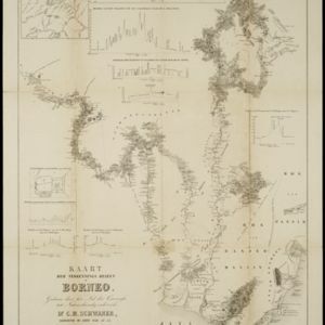
Kaart der verkennings reizen op Borneo

event1853

location_onIndonesia

Map charting expeditions in southern and eastern Borneo by the German geologist Carl Schwaner in the 1840s. Includes an inset map of rivers and watersheds in central Borneo, nine cross sections of the heights of rivers, and a plan of a gold mine.

Kaart van Java en Madura

event1850

location_onIndonesia

This map of Java and Madura uses hachures: short lines/dashes that give a sense of the shape and steepness of terrain. Roads, railways and rivers are marked, as are anchor points and coral reefs (marked with letter ‘K.’ before their name).

Kaart van Java en Madura

event1850

location_onIndonesia

This map of Java and Madura uses hachures: short lines/dashes that give a sense of the shape and steepness of terrain. Roads, railways and rivers are marked, as are anchor points and coral reefs (marked with letter ‘K.’ before their name).

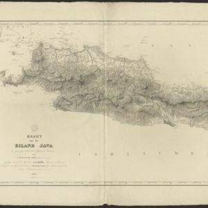
Kaart van het eiland Java

event1845

location_onIndonesia

This map of Java uses hachures: short lines/dashes that give a sense of the shape and steepness of terrain. The coast is marked with shoals and reefs (dotted lines and crosses), bathymetry (sea depth, in figures) and anchor points (anchor symbols).

Algemeene Kaart van Nederlandsch Oostindie

event1842

location_onEast Timor, Indonesia, Malaysia, Singapore

This detailed map of the Dutch East Indies in the mid-19th century is spread over eight sheets, plus a cover sheet showing the whole area. There are numerous inset maps of islands, bays, cities etc.

close