Search

Search Results

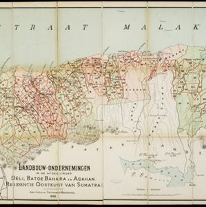
Landbouw-ondernemingen in de afdeelingen Deli, Batoe Bahara en Asahan (Residentie Oostkust van Sumatra)

event1898

location_onIndonesia

On this map of the east coast of northern Sumatra, red borders divide the land into agricultural properties, each with a number to identify it. The whole area is divided into colour-coded administrative districts.

Deli: Spoorweg maatschappij

event1891

location_onIndonesia

A map of the railway/tramway system of the Deli district on the northeast Sumatra coast. Existing and projected lines are shown, with stops and stations, as well as ‘draagbaar’ railways (a railway with movable tracks made by the Decauville company).

Kaart van Deli: Afdeeling der residentie Oostkusst van Sumatra

event1884

location_onIndonesia

Map of Deli on the east coast of Sumatra, dominated by the numerous rivers that flow from the mountains in the southwest to the Strait of Malacca. The railway lines around the city of Medan are shown in red, and flags indicate a military garrison.

Kaart van een gedeelte der Oostkust van Sumatra (Langkat, Deli en Serdang) waar tabaks-plantingen zijn

event1884

location_onIndonesia

Map of tobacco plantations in three regencies on the east coast of Sumatra. Each plantation is marked in red with the name of the brand under which its tobacco is imported into the Netherlands. Roads, railways and rivers are also shown.

Schetskaart van de Deli-ondernemingen in 1875

event1880

location_onIndonesia

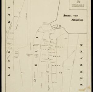
Map of Deli on the northeast coast of Sumatra, divided into parcels of land which are labelled—in capital letters—with the names of businesses. Place names are in lowercase. The coast, rivers and land parcels are rendered in simple straight lines.

Schetskaart van het N.W. gedeelte der Residentie Sumatra's Oostkust

event1877

location_onIndonesia

Rivers and crops are the focus of this map of the northeast coast of Sumatra. Forests and wetlands are marked, as are alang-alang, coconut, pepper, nutmeg and tobacco. Roads are shown as suitable for infantry and light artillery, or for horse riding.

Kaart van het Rijk Deli

event1876

location_onIndonesia

Rivers and crops are the focus of this map of Deli (east coast of Sumatra). Forests and wetlands are marked, as are alang-alang, coconut, pepper, nutmeg and tobacco. Roads are shown as suitable for infantry and light artillery, or for horse riding.

close

  • Filter from 1876 to 1898

Current results range from 1876 to 1898