Search

Search Results

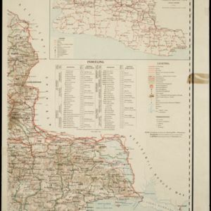
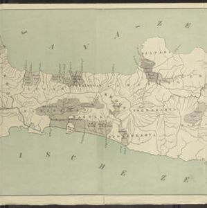
Kaart van Java: Waarop met arceeringen zyn aangeduid de streken waarop het einde van 1891 opnemingen op irrigatie gebied onderhanden warin / Waarop is aangegeven een ontwerp verdeeling in irrigatie afdeelingen

event1893

location_onIndonesia

Two maps about irrigation systems on Java. The first shows areas where systems are in place or being created, with their size. The second map shows Java divided into irrigation departments (both on trial and in operation).

Kaart van der residentie Soerabaja

event1893

location_onIndonesia

A map of the residency of Soerabaja (East Java) divided into regencies, departments and districts. There are large fishing ponds around the coasts. An inset map shows distances between settlements by road, tracks and paths.

Schets-taalkaart van de Kleine Soenda eilanden

event1893

location_onIndonesia

This map is colour-coded to show the different languages and dialects spoken in the Lesser Sunda Islands in the late 19th century.

Overzichtskaart en bladwijzer van de residentie Kediri

event1893

location_onIndonesia

This overview map of the residency of Kediri (East Java, Indonesia) features roads, railways and paths. It is divided into five regencies, which are subdivided into 28 districts, which are numbered and listed. Major settlements are also marked.

Kaart van de residentie Preanger regentschappen

event1893

location_onIndonesia

A map of the residency of Preanger (West Java) spread over three sheets and divided into regencies, departments and districts. An inset map shows distances between cities, towns and villages by road, tracks and paths.

Kaart van Nederlandsch-Indie

event1893

location_onBrunei, Cambodia, Indonesia, Malaysia, Singapore, Thailand, Vietnam, East Timor, Philippines, Southeast Asia

Shipping routes are the focus of this map of the Dutch East Indies, indicated by red lines labelled with the name of the shipping company and the destinations. Parcel shipping routes are also shown. Inset maps feature railway lines too.

Upper Burma

event1893

location_onMyanmar, Thailand

Map of Upper Burma, showing the borders with Assam (India), China and Siam (Thailand), as well as internal administrative borders. Mountains with their heights, settlements, rivers and railways (completed, proposed and under construction) are shown.

Boundaries of Tongkin or Tongkia

event1893

location_onLaos, Vietnam

This late 19th century map shows the disputed border region between Siam (Thailand, Laos) and Tongkin (Vietnam), with the border claimed by Siam highlighted in yellow. Provinces along the border are labelled with the names of their local tribes.

District Bhamo

event1893

location_onMyanmar

Map of the district of Bhamo in northern Burma (Myanmar) featuring the Irrawaddy River, railways (proposed and under construction, including the future Burma State Railway), and mines (amber, jade).

District Ruby Mines

event1893

location_onMyanmar

Map of the district of Ruby Mines in northern Burma (Myanmar) featuring the Irrawaddy and Shweli rivers. High points are marked with their heights so they can be used for triangulation. As the name suggests, the district was known for its rubies.

Map of Johore Territory 1893

event1893

location_onMalaysia, Singapore

Map of the Malay state of Johor, and Singapore. The route of a proposed railway north from Johor Bahru is shown. Apart from rivers and mountains, much of the terrain is blank, with labels such as ‘Unexplored Hill Country’ or ‘Dense Jungle and Swamp’.

India: Sugar cane

event1893

location_onMyanmar

On this map of India and Burma (Myanmar), shading indicates what percentage of each province is used for the cultivating sugarcane. Part of a series of maps of the same area showing different crops (others include cotton and rice).

close