Search

Search Results

Burma

event1899

location_onMyanmar

A large-scale topographical map of the states of Hsipaw, Lawksawk and Mongkung, within the Shan State of Burma (Myanmar). Elevation is indicated by contour lines, and travel and trade routes, villages, areas of cultivation and markets are also shown.

Upper Burma

event1899

location_onMyanmar, Thailand

Map of Upper Burma, showing the borders with Assam (India), China and Siam (Thailand), as well as internal administrative borders. Mountains with their heights, settlements, rivers and railways (completed, proposed and under construction) are shown.

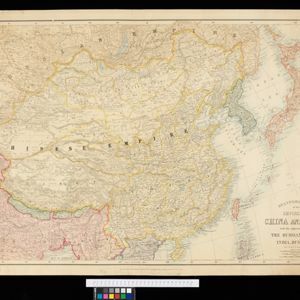
Stanford's Map of the Empires of China & Japan with the adjacent parts of the Russian Empire, India, Burma &c.

event1896

location_onMyanmar, Vietnam

The most northern part of Southeast Asia is shown on this map of China and Japan, with Burma (Myanmar) and Tong-King (Vietnam) appearing at the bottom of the map. Mountains, rivers and settlements are marked, as well as a railway line in Burma.

Route chart to India and the East

event1895

location_onBrunei, Cambodia, East Timor, Indonesia, Laos, Malaysia, Myanmar, Philippines, Singapore, Southeast Asia, Thailand, Vietnam

Map of Asia featuring steamship routes—including around Southeast Asia—connecting ports such as Penang, Singapore, Batavia (Jakarta), Saigon, Bangkok, Rangun (Yangon), Manila, Macassar (Makassar) etc. There is also an inset map of Singapore.

Upper Burma

event1895

location_onMyanmar, Thailand

Map of Upper Burma, showing the borders with Assam (India), China and Siam (Thailand), as well as internal administrative borders. Mountains with their heights, settlements, rivers and railways (completed, proposed and under construction) are shown.

Stanford's Map of the Empires of China & Japan with the adjacent parts of the Russian Empire, India, Burma &c.

event1895

location_onMyanmar, Vietnam

The most northern part of Southeast Asia is shown on this map of China and Japan, with Burma (Myanmar) and Tong King (Vietnam) appearing at the bottom of the map. Mountains, rivers and settlements are marked, as well as a railway line in Burma.
Upper Burma

event1894

location_onMyanmar, Thailand

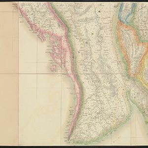
Map of Upper Burma, showing the borders with Assam (India), China and Siam (Thailand), as well as internal administrative borders. Mountains with their heights, settlements, rivers and railways (completed, proposed and under construction) are shown.

Upper Burma

event1893

location_onMyanmar, Thailand

Map of Upper Burma, showing the borders with Assam (India), China and Siam (Thailand), as well as internal administrative borders. Mountains with their heights, settlements, rivers and railways (completed, proposed and under construction) are shown.

Upper Burma: Preliminary map 1887

event1887

location_onMyanmar

Map of Upper Burma, with the city of Mandalay highlighted in red in the centre, and featuring the Irrawaddy and Chindwin rivers, roads and settlements. Mountains, forests and mines (coal, silver, rubies, amber) are marked.

[Map of India]

event1887

location_onMyanmar

This four-sheet map of India—featuring an inset map of Burma (Myanmar) —was created for use in Indian schools by Devendranath Dhar, a self-taught Calcutta-based mapmaker. He sent it to the Royal Asiatic Society for advice on publication.

Map of the Eastern Frontier of British India, with the adjacent countries

event1838

location_onMyanmar, Thailand

Regional and local borders are colour-coded, with mountains and rivers, settlements, paths/roads and names of local peoples marked. Notes such as ‘Gold dust found in these streams’ and ‘Rich in Tin’ add detail. Only two of four sheets are available.

close

  • Filter from 1838 to 1899

Current results range from 1838 to 1899