Search Results

Topographische kaart der residentie Kediri
1879
Indonesia
Four-sheet topographic map of the residency of Kediri (East Java), divided into regencies (pink borders) and districts (yellow borders). Mountains, forests, settlements, routes and crops—sugarcane, alang-alang, rice, coffee, sugar, nutmeg—are shown.

Kaart van de Golf van Tomini of Gorontalo en omliggende landen
1878
Indonesia
Map of the Minahasa and East peninsulas of Celebes (Sulawesi) focusing on the road system (shown by red lines). There are four inset maps, including one showing indigenous tribal areas, and a list of places with their latitude, longitude and height.

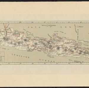
Topographische kaart der residentie Madioen
1878
Indonesia
Four-sheet topographic map of the mountainous residency of Madioen (Madiun, East Java), divided into regencies (pink borders) and districts (yellow borders). Crops—sugarcane, alang-alang, rice, coffee—sugar factories and coffee warehouses are shown.

Topographische kaart der residentie Krawang
1877
Indonesia
The residency of Krawang (Karawang), West Java, featuring plantations (coffee, coconut, cinnamon, nutmeg, sugar); crops (rice, alang-alang, bamboo); post offices, routes (road, postal, canals), administrative borders; mountains, rivers, forests.

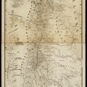
Kaart van een gedeelte van midden Sumatra
1876
Indonesia
This map of central Sumatra is dominated by the rivers that flow east, from the west coast mountain ranges to the Malacca Strait (labelled ‘Zee van Riouw’). The largest is the Batang Hari River that flows through the city of Djambi (modern Jambi).
- Filter from 1700 to 1900
- [remove]Dutch East Indies327
- Java151
- Sumatra118
- Borneo67
- Sulawesi61
- Celebes59
- Java Sea50
- Malay Peninsula37
- Maluku Islands35
- South China Sea35
- Western New Guinea32
- Celebes Sea25
- more Detailed Location »
- [remove]Mountain/Volcano327
- Wetlands131
- Jungle/Wooded Area86
- Mangrove3
- Wild Animals1


