Search

Search Results

Kaart van het eiland Java uit de nieuwste bronnen zamengesteld

event1855

location_onIndonesia

Map of Java divided into administrative areas (‘residencies’ and ‘regencies’). Mountains are represented by hachures, short lines/dashes that give a sense of the shape and steepness of terrain. Postal routes and roads are also marked.
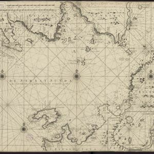
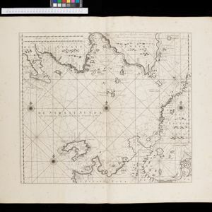
De Straat Sunda in de Oost-Indische Zee tussen de Eylanden Sumatra en Java

eventc.1750

location_onIndonesia

Chart of the Sunda Strait, focusing on bays and islands, and showing bathymetry (sea depth), anchor points, shoals and reefs, landmarks, and a rhumbline network, all to aid navigation. Includes an inset map of the bay of the city of Banten on Java.

De Straat Sunda in de Oost-Indische Zee tussen de eylanden Sumatra en Iava

event1728

location_onIndonesia

Chart of the Sunda Strait, focusing on bays and islands, and showing bathymetry (sea depth), anchor points, shoals and reefs, landmarks, and a rhumbline network, all to aid navigation. Includes an inset map of the bay of the city of Banten on Java.

close

  • Filter from 1728 to 1855

Current results range from 1728 to 1855