Search

Search Results

Plan of Port Moresby and the road to the Lolokie River: New Giunea

event1887

location_onPapua New Guinea

India, Burmah and the adjacent parts of Beluchistan, Afghanistan, Turkestan, the Chinese Empire, and Siam

event1887

location_onMyanmar, Thailand, Malaysia, Indonesia

Parts of Burma, Siam and the Shan States

event1886

location_onMyanmar, Thailand

Kaart van het eiland Bawean

event1886

location_onIndonesia

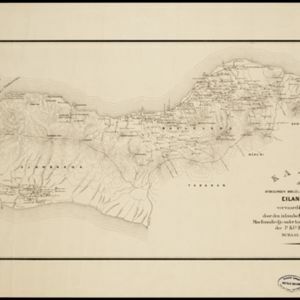
Kaart der afdeelingen Boelèlèng en Djambrana, eiland Bali, vervaardigd in 1885

event1886

location_onIndonesia

Kaart van Atjeh en Onderhoorigheden

event1886

location_onIndonesia

Kaart van de afdeeling, eiland Saleijer (Silaijara)

event1886

location_onIndonesia

Kaart van Zuid Celebes met uitzondering van het Rijk Gowa

event1886

location_onIndonesia

Burma: with parts of India, China, and Siam

event1886

location_onMyanmar, Laos, Thailand

Plan topographique de l'arrondissment de Longxuyen

event1886

location_onVietnam

Topographische kaart der residentie Probolinggo

eventc.1884-1885

location_onIndonesia

Het stroomgebied van Bila en Pane: Opgenomen en in kaart gebracht... gedurende de jaren 1876, 1877, 1878, 1882, 1883, 1884

event1885

location_onIndonesia

close