Search

Search Results

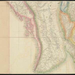
Parts of Burma, Siam and the Shan States

event1886

location_onMyanmar, Thailand

This map charts the journey of Holt S. Hallett as he searched for a suitable route for a railway to transport British goods from Burma to Thailand and China. He wrote the book ‘A Thousand Miles on an Elephant in the Shan States’ about his expedition.

Map of the Malacca territory

event1878

location_onMalaysia

A late 19th century map of the town of Malacca and its surrounding area, including jungles, forests, mountains, rivers, roads, villages, tapioca estates and factories, and police stations. There is even a leper hospital on an island off the coast.

Military cantonments: town and suburbs of Akyab, 1853-54

event1866

location_onMyanmar

Plan of British military installations in the port town of Akyab, Burma (Sittwe, Myanmar), featuring piers on the Kolladyne River (Kaladan River), hospitals, a work house, mission house, hotel, bazaar, burial grounds, religious buildings etc.

Map of Prince of Wales' Island or Pulo Penang and province Wellesley

event1853

location_onMalaysia

Map of the Penang Strait, including written instructions on how to navigate the strait. On land, areas of cultivation are marked, with a table listing acreage used for each crop. A boundary with Siam based on an 1831 treaty is also shown.

Map of the Eastern Frontier of British India, with the adjacent countries

event1838

location_onMyanmar, Thailand

Regional and local borders are colour-coded, with mountains and rivers, settlements, paths/roads and names of local peoples marked. Notes such as ‘Gold dust found in these streams’ and ‘Rich in Tin’ add detail. Only two of four sheets are available.

close