Search Results

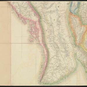
Map of the Eastern Frontier of British India, with the adjacent countries
1838
Myanmar, Thailand
Regional and local borders are colour-coded, with mountains and rivers, settlements, paths/roads and names of local peoples marked. Notes such as ‘Gold dust found in these streams’ and ‘Rich in Tin’ add detail. Only two of four sheets are available.


